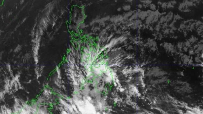
The Philippine Atmospheric, Geophysical, and Astronomical Services Administration (Pagasa) reported on Wednesday that the country may experience the formation or entry of one to two tropical cyclones into the Philippine Area of Responsibility (PAR) this month.
Forecaster Rhea Torres of Pagasa stated that similar storms could form later in May because of El Niño’s persistent influence. The weather in the Philippines is currently being influenced by two meteorological systems: the inter-tropical convergence zone (ITCZ) and the easterlies, which are particularly prevalent in southern Mindanao.
Torres said that locations like Sultan Kudarat, Sarangani, Basilan, Tawi-tawi, and Sulu are expected to see gloomy skies, sporadic rain showers, and thunderstorms due to the ITCZ.
According to Pagasa, Metro Manila will see temperatures between 37 and 38 degrees Celsius through Thursday. There will also be cloudy to partly cloudy skies, scattered downpours, and isolated thunderstorms because of the easterlies and localized thunderstorms.
Torres issued a warning, saying that it’s likely that these isolated thunderstorms or rain showers may happen late in the afternoon or at night.
Pagasa also released advisories about high heat indexes in specific regions. Pangasinan will see 47 degree Celsius temperatures and Metro Manila 44 degree Celsius, with Camarines Sur likely to have a “dangerous” 48 degree Celsius heat index until Thursday.


