
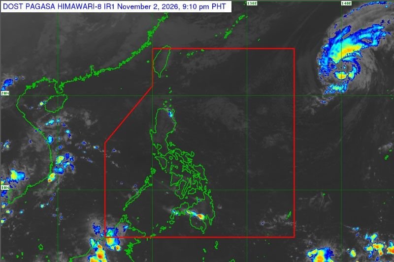
The Philippine Atmospheric, Geophysical and Astronomical Services Administration (PAGASA) forecasts that one to two typhoons are expected to enter the Philippine Area of Responsibility (PAR) this November.
Historically, these storms typically make landfall in regions such as Bicol, Eastern Visayas, or Caraga. PAGASA warns that these typhoons may traverse through the Visayas towards Palawan or could potentially cross Central Luzon; however, there remains a possibility of them veering off without making landfall.
In addition to the approaching typhoons, PAGASA anticipates below-normal to significantly below-normal rainfall across most of the country this month. Exceptions include Davao City, Davao del Norte, and Agusan del Norte, where near-normal rainfall conditions are expected.
Looking ahead, PAGASA projects that from December 2026 to January 2027, the entire country is likely to experience below-normal to significantly below-normal rainfall. The agency estimates that up to four more typhoons could enter PAR between late December and January, with two or more expected from January through April.
Frequently Asked Questions
How many typhoons are expected to enter the PAR in November 2026?
One to two typhoons are forecasted to enter the Philippine Area of Responsibility in November 2026.
Where are the typhoons likely to make landfall?
Typhoons that enter during November typically make landfall in the Bicol Region, Eastern Visayas, or Caraga Region.
What is the rainfall forecast for the Philippines in November 2026?
Most of the country is expected to see below-normal to significantly below-normal rainfall, except for Davao City, Davao del Norte, and Agusan del Norte, which are forecasted to have near-normal rainfall.
Reporting by Joey Bengzon for Rapport Philippines. This report was prepared from available source material and reviewed for factual consistency. Further verified updates will be added as the newsroom receives them.