
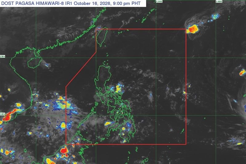
A tropical storm named Champi is projected to enter the Philippine Area of Responsibility (PAR) next week, according to the Philippine Atmospheric, Geophysical and Astronomical Services Administration (PAGASA). As of 8 AM on October 16, Champi was located approximately 3,100 kilometers east of the Visayas and was moving westward at a speed of 20 kilometers per hour, with sustained winds of 85 kilometers per hour and gusts up to 105 kilometers per hour.
Once Champi enters PAR, it will be designated as Typhoon Rosal, marking the 18th storm of the year and the first for the month of October. Although expected to intensify into a super typhoon upon entering the country, the likelihood of landfall anywhere in the Philippines remains low.
The storm is anticipated to continue its northwest trajectory in the Philippine Sea towards the Ryukyu Islands or Taiwan by the end of next week. However, its extension may impact the eastern portions of Luzon and the Visayas, potentially bringing rainfall to those regions.
In the meantime, parts of Central and Southern Philippines are likely to experience scattered rain this weekend due to the Intertropical Convergence Zone (ITCZ) and humid easterly winds.